BIOT Joins Pioneering Underwater Camera Network
The British Indian Ocean Territory has become one of ten UK Overseas Territories to join a major network of underwater camera deployments covering the Atlantic, Indian, Pacific and Southern Oceans, funded as part of the UK Government Blue Belt programme.
Scientists from the Centre for Environment, Fisheries and Aquaculture Science (CEFAS), the University of Western Australia and the Overseas Territories are working with Blue Abacus, in a world first to supply and analyse the data collected from 66 non-intrusive stereo-Baited Remote Underwater Video Systems (BRUVS), which will be deployed in open and coastal habitats.
Together these BRUVS will form the Global Ocean Wildlife Analysis Network, which will provide information on ocean biodiversity and ecosystems found in the vast maritime and coastal areas of the UKOTs.
BRUVS will enable researchers to see below the surface and provide a benchmark of scientific understanding of the marine species within their maritime area, allowing the UKOTs to make more informed decisions about protecting and managing these diverse ecosystems.
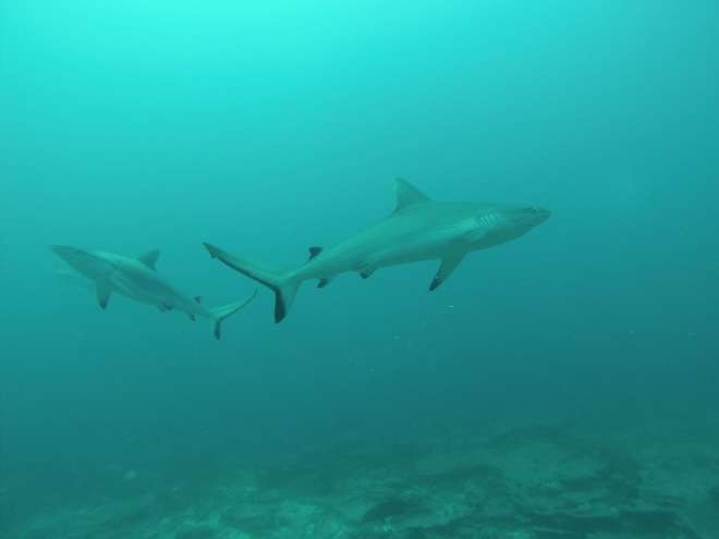
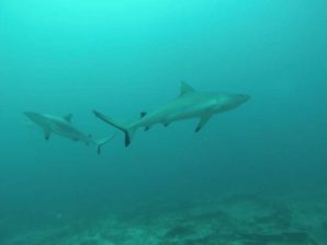
This exciting new network builds on previous successful deployments of BRUVS in the Territory. In the 2019 Reef 1 expedition scientists from the Australian Institute of Marine Science (AIMS) deployed underwater cameras to create a data set representing the most comprehensive survey of reef sharks across the archipelago to date. In 2016 both the VAVAII and Pelagic expeditions deployed similar technology to monitor marine populations across BIOT and provide rare records of the under-sampled intermediate habitat between the reefs and the open ocean.
Cefas project lead, Dr Paul Whomersley, said about the new project:
The Global Ocean Wildlife Analysis Network will provide UKOTs with a world-first network of stereo-baited remote underwater video systems which will enable us all to better understand the biodiversity, functioning and connectivity of these ocean areas, while providing valuable and necessary data to inform and develop UKOTs marine management and protection strategies.
The Overseas Territories involved in the project are: Anguilla, Ascension Island, British Antarctic Territory, British Indian Ocean Territory, British Virgin Islands, Cayman Islands, Montserrat, Pitcairn, St Helena and Tristan da Cunha.
You can find out more about this project on the GOV.UK website here.